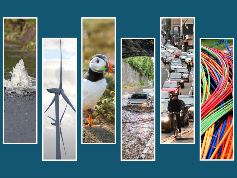
All Data
Explore the Commission's data using keyword search, or using the menu selections below. All data is available to download.
Updated:

Themes:
Study or report:
Tags:
Search:
NIA2 Baseline Charts
Data from the Baseline Report providing an overview of the current performance of the infrastructure sectors within the Commission's remit
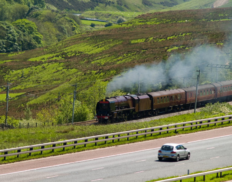
Historic Transport Datasets
The Commission's Historic Transport Dataset provides select data on Britain's transport sector spanning back as far as 1870.


Performance Measures
Data the Commission uses to assess the performance of the UK’s infrastructure systems and the services they provide.

Interim (2015) National Infrastructure Assessment: Transport Modelling
Data on road and rail traffic, and modelled projections.